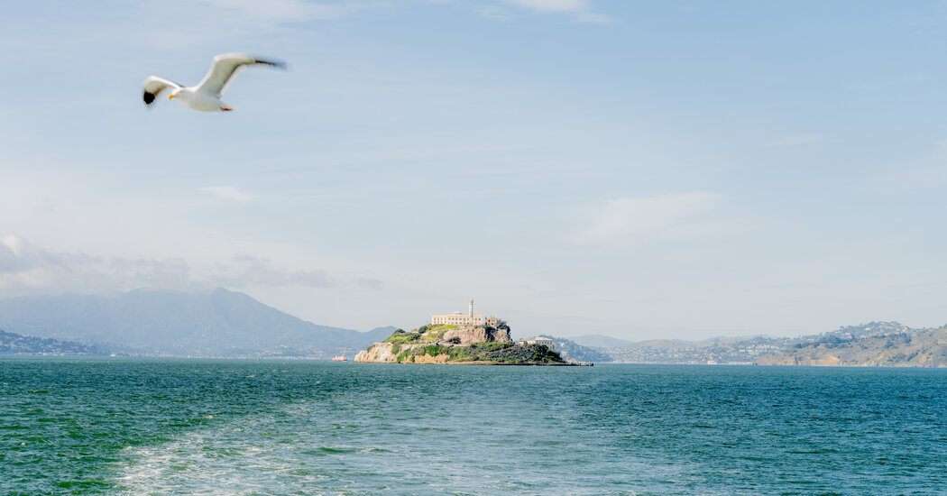
The former prison known as the Rock faces seismic activity, climate change and general deterioration. A wondrous new map could help save it.
In May 1946, chaos erupted when six prisoners who were determined to escape from Alcatraz Island overpowered guards and grabbed weapons and keys.
They seized a cell block at the federal penitentiary for two days, prompting the Marines to respond and throw grenades into the building from the roof. By the end of the “Battle of Alcatraz” in the middle of San Francisco Bay, three inmates and two guards were dead.
Seventy-eight years later, tourists at the prison turned park can still see a spray of pock marks in the cement floor that were left by those hurled explosives.
The divots, shallow in size but deep in history, will now be preserved forever, along with every other nook on Alcatraz. Scientists and technology experts spent three weeks in December using cameras, drones and a robot dog to gather four trillion bytes of data to build the first 3-D map of the entire island in full color.
Every building inside and out was frozen in time. Every tunnel, every piece of cellblock graffiti, every rusted prison bar, every wildflower, every gull dropping. Every corner of “the Rock” was captured with precision within a centimeter.
This post was originally published on this site be sure to check out more of their content.


